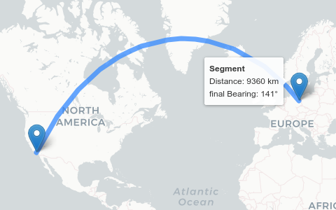
Click on an image to open the demo:
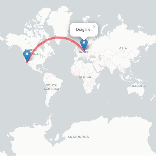
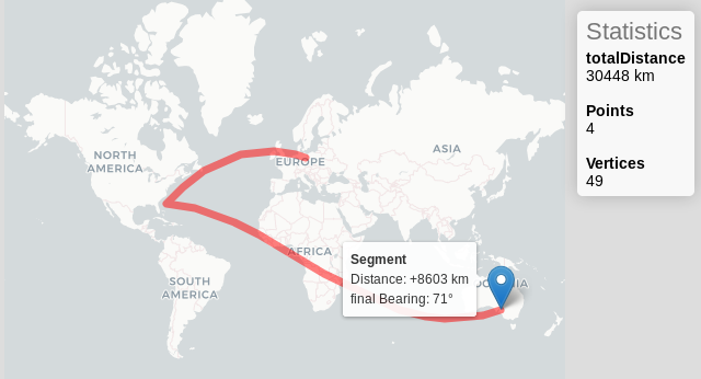
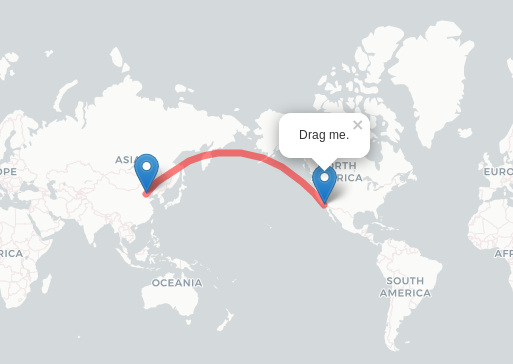
Basic interactive
Interactive Linestring
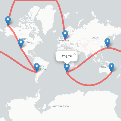
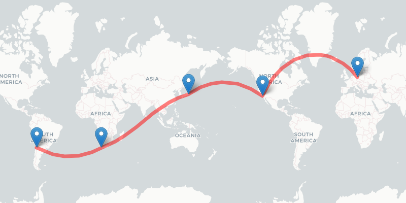
Interactive Multi-Linestring
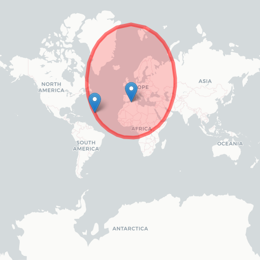
Interactive Circle
GeoJSON import
Interactive measurement
No Wrap Interactive
Continuous Drawing
Animated Flightpath
Basic Measurement
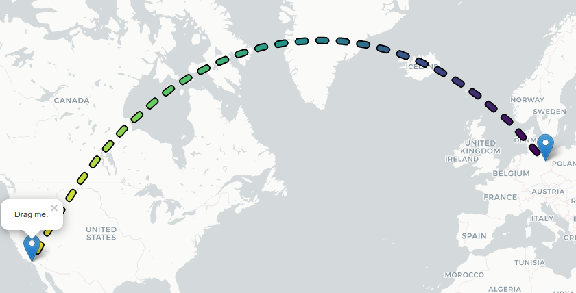
This is an example on how to directly add geodesic information to a permanent tooltip of a draggable marker.
